Pedestrian Comfort in High Pedestrian Activity Areas
The project aims to quantify pedestrian flow in tropical cities, understand pedestrians’ wayfinding behaviour and subjective experience, evaluate design intervention to mitigate effect of crowding, and develop new urban design guidelines.
In-depth understanding of district-wide pedestrian flows, experiences and behaviours is necessary to provide architects and planners with adequate tools and guidelines for design interventions to enhance existing walkways and design new ones and other infrastructure for pedestrians.
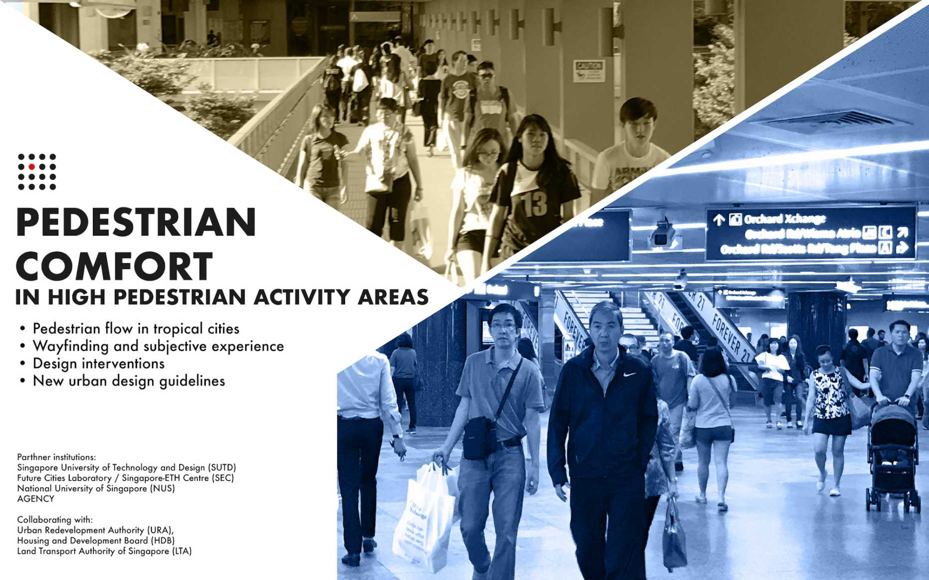
This is particularly critical in high pedestrian density areas, such as transport hubs, indoor spaces and underground walkways, where crowding and spatial constraints restrict the flow and movement of pedestrians.
Aims
To inform planning and design of pedestrian walkways in order to alleviate crowding and improve pedestrian comfort in areas of high pedestrian activity in Singapore, this project aims to:
- Quantify district-wide pedestrian flows;
- Calibrate a microscopic pedestrian flow model;
- Understand perceptual and cognitive aspects of pedestrian movement; and
- Put together a set of guidelines, following rigorous testing of design variants.
To this end, a multidisciplinary team of researchers has embarked on a project to guide planning in enhancing existing pedestrian walkways and designing new ones in areas with high pedestrian activity in Singapore. Researchers from the Singapore University of Technology and Design (SUTD), the Singapore-ETH Centre, the National University of Singapore (NUS) and the design company AGENCY, are collaborating with the Urban Redevelopment Authority (URA), Housing and Development Board (HDB) and the Land Transport Authority of Singapore (LTA) on this project.
Research components
The research focuses on four prominent transport hubs in Singapore: Orchard Road, Raffles Place, Jurong East and Tampines. In these areas, a multilevel pedestrian network will be drawn. This network will be enriched with a series of attributes, such as the walkway width, height, and distance from traffic, the level of lighting, the presence of shops, and the visibility of a link, to name a few.
To quantify pedestrian flows, multi-day, hourly pedestrian counts will be set against a series of variables, including pedestrian attractors and generators (e.g. shops, offices, hotels, dwellings), and variables describing the spatial configuration of the network. The latter will include Space Syntax measures and urban network analysis measures. Special attention will be paid to the multilevel nature of the pedestrian network.
At one site, 3D-video-sensing will be employed to measure pedestrian flow and calibrate the behavioural parameters of the social force model.
To understand the perceptual, cognitive, and experiential aspects of pedestrian behaviour, the team will conduct empirical research in mixed-use scenarios both in the real-world and the virtual environment. Wayfinding experiments, such as asking volunteers to find new or familiar destinations within an environment, will be used to study pedestrians route-choice strategies and how people perceive and interact with pedestrian crowds. Psychophysiological measurement will augment established self-reported methods to assess the psychological, subjective experience of pedestrians along high-density walkways.
The results of these quantitative approaches will be put in context through qualitative research, from observation techniques to interviews, which will address the experiences and motivations of pedestrians. Furthermore, stakeholder interviews will be conducted.
Finally, findings from these streams of research will be combined to generate design variants that address different aspects of crowding, to improve the flow and the experience of pedestrians. These variants will be validated through physical and virtual mock-ups, as well as simulation methods (ABM). The outcomes will be used to develop urban design guidelines for future pedestrian infrastructure in Singapore, in consultation with collaborating agencies.
Project sponsor
The project is being carried out with funding support from Singapore’s Ministry of National Development (MND) and National Research Foundation (NRF) under the Land and Liveability National Innovation Challenge (L2NIC) Award No. L2NICTDF1–2017–1.
Any opinions, findings, and conclusions or recommendations arising from this study are those of the author(s) and do not reflect the views of the Singapore Ministry of National Development, the National Research Foundation, Prime Minister’s Office, Singapore, as well as collaborating agencies, the Urban Redevelopment Authority, the Housing and Development Board, and the Land Transport Authority of Singapore.