Mapping the risk of COVID-19 spread
How can the risk of COVID-19 transmission be determined for villages? Miya Irawati from FCL explains how the risk of COVID-19 spread was mapped in villages in Jakarta in The Conversation and Kompas.

The Jakarta government has decided to extend its large-scale social restrictions, which began on April 10, till May 22 in light of the fluctuating number of COVID-19 cases daily. Although the number of cases were seen to be declining for a while, it is unclear whether the reduction is due to the slow detection of positive cases or the large-scale social restrictions.
Miya Irawati,a researcher of the Urban-Rural Systems project in the Future Cities Laboratory programme and her team used data of COVID-19 cases in Jakarta till 31 March, to map villages in Jakarta that are potentially vulnerable to the spread of COVID-19 based on related general parameters such as:
- The number of elderly people.
- The number of people who are chronically ill (especially over 45 years old).
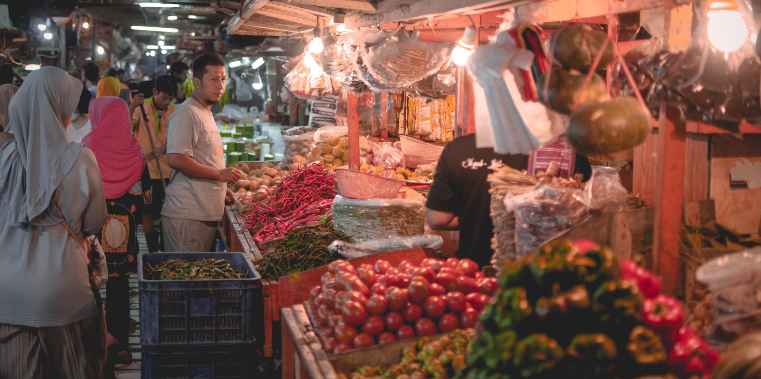
- The distribution of places such as traditional markets and minimarkets, which are potential epicenters for spreading the virus.
Even though the government has adminstered large-scale social restrictions, traditional markets and minimarkets are deemed essential as they are vital for providing food and basic needs for the people. However, villages with high population densities and numbers of traditional markets and minimarkets can become sources of very fast spreading as both retailers and consumers gather there for long hours.
Miya suggests that intensive coordination, strong mutual cooperation, and a fast synergy between the government and communities is needed to reduce the spread of COVID-19 at the village level.
The article by Miya Irawati, " Riset spasial ungkap risiko penyebaran coronavirus level kelurahan dan pasar tradisional di Jakarta" was published on external page The Conversation and re-published in external page Kompas.